Plat (1) 4-8-003
Oʻahu · City & County of Honolulu · 51 parcels · 62 mapped acres
A plat is one sheet of the county tax map: every parcel below shares the island code (1), zone 4, section 8, and plat 003 — they differ only in their final parcel number. How TMKs work →
Parcels on this plat
What a KILO read answers here
The directory entry on any parcel page is the public record's surface. A KILO read is the layer underneath — the parcel-level answers a project actually turns on:
- Zoning & entitlement — county zoning, state land-use district, and whether the intended use is by-right or discretionary.
- Flood — FEMA flood zone and base-flood elevation posture — including the June 2026 Oʻahu FIRM update.
- Wastewater — cesspool / septic / sewer status and the HAR §11-62 and Act 125 rules that apply.
- Shoreline & sea level — shoreline setback and the State SLR-XA exposure ladder.
- Contamination — DOH HEER and EPA facility context near the parcel.
- Cultural resources — the parcel's HRS §6E review pathway and documented cultural-resource context, with the reasoning shown.
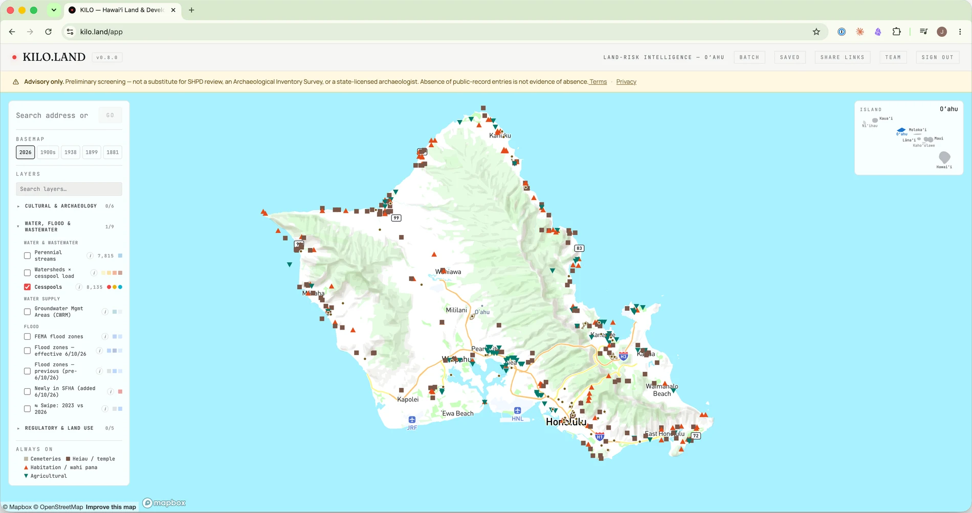
And the read is where the work starts, not where it ends: the pathway it produces becomes a project you can track — filings, review clocks, submittal checklists, agency comments — with exports for the deal file. See everything a read carries →
$50/parcel · Founder price · pay-as-you-go, no subscription — or a plan if you underwrite regularly. Sign-in required; each read runs fresh against the live public record.