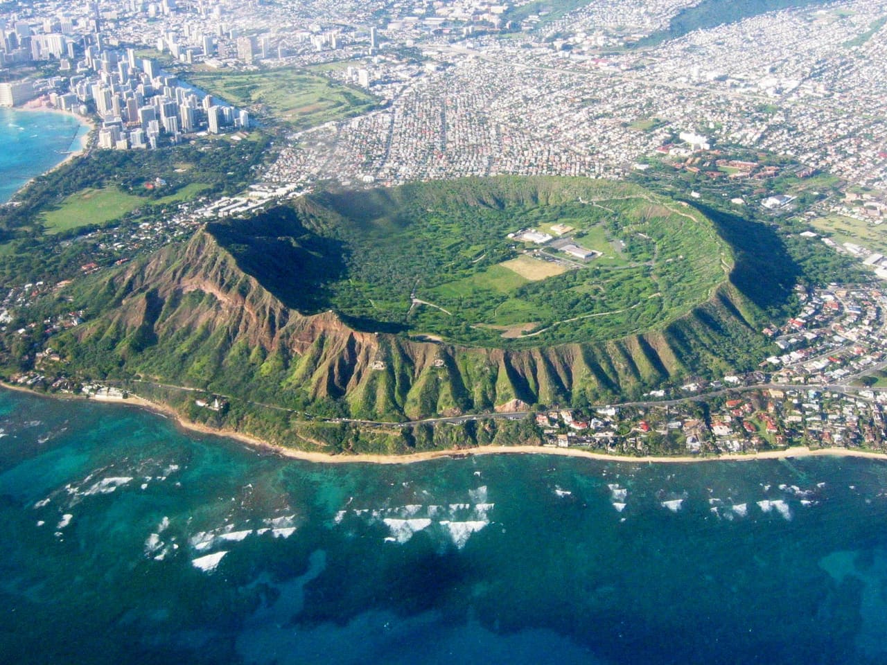
The land-risk profile of any Hawaiʻi parcel, before you commit.
Whatever you're about to do with a parcel — purchase it, build on it, lend against it, insure it, or close on it — read it first. Enter an address or TMK and KILO reads the parcel across every domain that bears on it: entitlement, permitting, water, site, environmental, and cultural-resource. One cited read, with the reasoning shown. Statewide across all four counties; deepest on Oʻahu.
Now in beta: California — hazard, environmental and zoning reads for California parcels.
Most land risk in Hawaiʻi is found the expensive way — after the purchase, the permit, or the first day of excavation, when zoning, a failing cesspool, a flood line, a shoreline setback, or a cultural-resource issue reshapes the schedule and the budget. KILO reads the parcel before the decision — you bring the parcel, KILO brings the read.
Land-risk is discovered, not assessed.
The usual workflow is backwards. Someone commits first — signs the purchase, permits the ADU, quotes the foundation, breaks ground — and only then finds out whether a discretionary permit, a failing cesspool, a shoreline setback, a flood line, or a cultural-resource issue will reshape the timeline, the budget, or the project itself. The gap is always the same: nobody read the parcel before the decision was made.
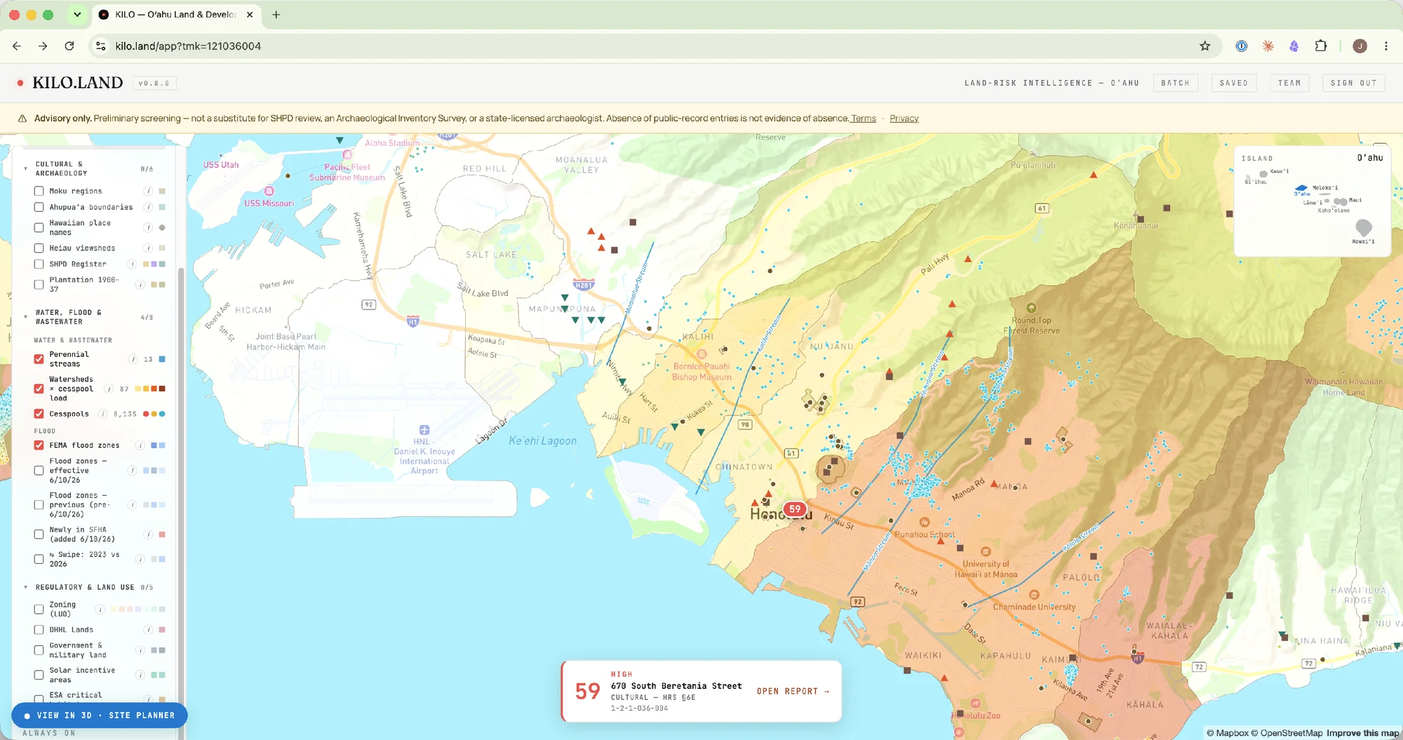
The questions a deal turns on — answered, per parcel.
In plain terms: can you build what you want here, who has to approve it, what's going to be slow, what's going to be expensive, and what could kill the deal — a plain-language brief your whole deal team can read in minutes. Each answer traces to a cited public source, considered at diligence, not found out in the trench.
The decision brief, in detail
The cost of finding out late.
Before you commit, the cost of knowing is information. After you commit, it's operations — every frozen day burns capital already deployed. KILO sits in the cheap window, upstream of formal due diligence, where you're still choosing whether to pursue a parcel at all.
The documented discovery record
What the tool does, specifically.
One parcel in, one cited read out — enough to size up any parcel before committing to the full workup, with the reasoning shown. Built from live authoritative data; designed to slot in alongside the consultants and agency review you already use.
And the read is only the start. With the Kilo+ add-on — one package, everything included — KILO becomes a development workspace: the by-right development program the parcel supports, a 3D massing model on the map, and deal feasibility that solves for the residual land value your own numbers support — with the §6E cultural-review risk priced in. Kilo+ also carries scenario comparison with client-ready exports, portfolio batch massing across a list you bring, the Parcel Record — assessed value, permit history, hazard screens, assembled so you don't pull them from six government portals yourself — and the Kilo+ Assistant, which answers plain-language questions about the read from the read itself and the parcel's public record, with citations.
Four discrete methods. One parcel-level read.
Every assessment runs four named methods over the parcel — a regulatory cascade, a ground-disturbance profile, a cultural-resource screen, and a procedural-readiness pathway. Cite them in your scope of work; review each on the report. All paid tiers include all four — there are no method-gated tiers.
Seven buyers. One parcel-level read.
The exposure on a parcel is the same fact for everyone — but the decision it informs is not. Each buyer reads it differently; pick the door that matches yours.
Eight jobs. One parcel-level read.
The industry cards above are about who you are. These are about what you do with it — the same cited assessment, put to work across the deal lifecycle and the risks that define a Hawaiʻi parcel.
Cited rules over public data — not a black box.
KILO reads a parcel with a layered set of cited rules over public data, and shows its work — never a black box. It surfaces every domain that bears on a build — entitlement, water, site, environmental, and cultural-resource — each as its own cited read, and where the public record is silent it says verify, never clear. Built on 40 publicly-published data layers.
The domains a read covers
Every assessment reads across the same domains — entitlement, water, site, environmental, and cultural-resource — each as its own cited read, with the specific inputs and reasoning shown on the assessment itself. The categories of data behind a read are summarized in Data sources below; the engine weights them differently — some move the band, others are surfaced as cited context.
How what you build changes the read
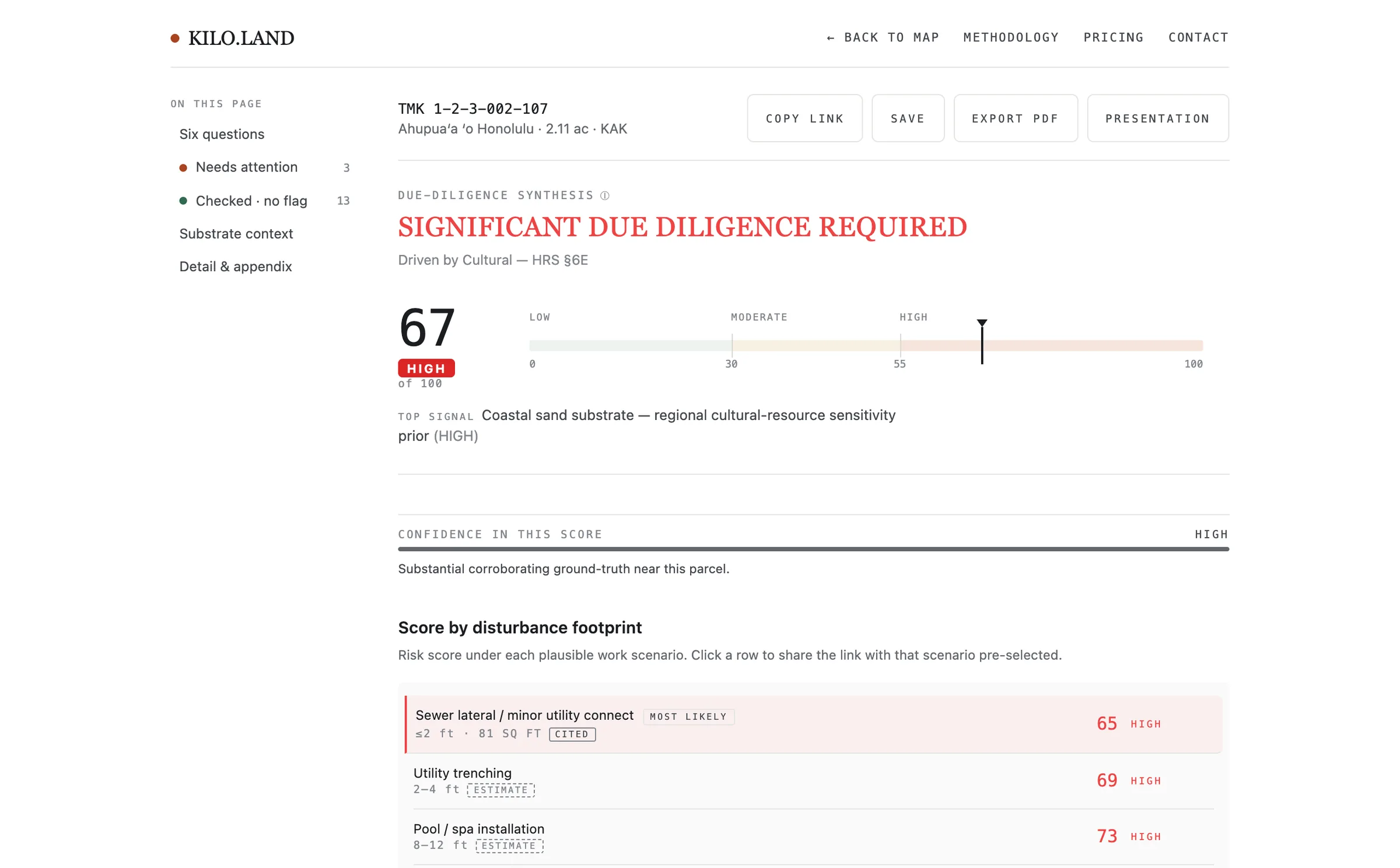
Risk depends on what you build, too. Two homes on one parcel carry very different ground-disturbance exposure depending on how much soil they move — a sewer lateral barely touches the ground; a cesspool conversion reaches 9+ feet. Every assessment scores each plausible disturbance footprint, so the purchase decision matches the real project, not the parcel's worst case — and flags the row your parcel's existing infrastructure actually forces as the realistic one.
Wastewater Management Plan (Feb 2026). Other scenarios are estimates.
The water and shoreline tests that decide a coastal parcel.
Three of the most consequential — and most easily missed — questions on a Hawaiʻi parcel are about water: which wastewater path the parcel forces, whether a septic system still complies as the sea rises, and how much of the lot stays buildable behind the shoreline setback. KILO runs all three from live data, now and at each sea-level-rise step. We say documented deliberately: registered inventories aren't exhaustive, and the app says so when a check returns negative — a clean read is never a guarantee.
Which wastewater path your parcel forces
When a compliant septic fails by 2050
Hawaiʻi DOH requires three feet of dry soil between a leach field and the water table — HAR §11-62. On flat coastal lots that buffer shrinks as the sea rises: groundwater climbs about a foot for every foot of sea-level rise. KILO projects the separation under each SLR scenario and flags where a system compliant today fails by 2050.
Groundwater-rise model from The Hanalei Initiative, Wastewater Management Plan (Feb 2026);
generalization to coastal Hawaiʻi per Habel et al. 2017 and Honolulu Climate Change Commission guidance.
How much of the lot you can build (Oʻahu)
On Oʻahu, Honolulu's ROH §26-1.4(b) sets a building setback inland from the shoreline, and SMA permits must show the parcel against three sea-level-rise scenarios — numbers that normally take a surveyor and a coastal engineer. KILO intersects live SLR-XA polygons with the parcel and reports buildable area, now and at each SLR step, against the 1,500 sq ft minimum the ordinance protects. (Neighbor-island shoreline setbacks vary by county code.)
Shoreline approximated from the SLR-XA Vegetation Line (2005-2008). A DLNR-certified shoreline survey supersedes for actual permitting.
ROH §26-1.4(b) effective July 1, 2024 · Hawaiʻi Statewide GIS Climate MapServer (SLR-XA, Vegetation Line).
Where the reasoning comes from.
Every read is built from public and authoritative sources — 40 data layers plus the published academic record, across the categories below. Each assessment cites the specific inputs behind it and shows its work.
The categories of data behind a read
Tell us about the deal you'd use it on.
Sign up and run a parcel any time — no invite needed. This form is for enterprise terms, partnerships, and anything else: the more specific you are about the deal, the more useful the first conversation. We read everything that comes in.