(2) 2-3-023:082
240 Kulamanu Cir, Kula, HI 96790 · Maui · County of Maui · 16,422 sq ft (0.377 ac)
One parcel, five coordinates — that is the whole Tax Map Key system. How TMKs work →
The public record, at a glance
- Tax map key
- (2) 2-3-023:082 digits-only: 223023082 · URL form: 2-2-3-023-082
- Island / county
- Maui — County of Maui
- Address
- 240 Kulamanu Cir, Kula, HI 96790Situs address as published by the county address roll. The recorded deed and the county record control.
- Mapped area
- 16,422 sq ft (0.377 ac)County GIS parcel fabric — the recorded deed controls.
- Parcel centroid
- 20.78055, -156.31867Approximate center of the mapped parcel polygon.
- Assessed value
- $1,835,200 total · land $695,800 · building $1,139,400County-certified assessment (Jan-1 valuation date) — an assessment figure, not a market price.
- County record
- Maui County Real Property Assessment →Owner of record, exemptions, tax history — search the TMK 223023082.
- State parcel map
- Hawaiʻi Statewide GIS parcel viewer →
What a KILO read answers here
The directory entry above is the public record's surface. A KILO read is the layer underneath — the parcel-level answers a project actually turns on:
- Zoning & entitlement — county zoning, state land-use district, and whether the intended use is by-right or discretionary.
- Flood — FEMA flood zone and base-flood elevation posture.
- Wastewater — cesspool / septic / sewer status and the HAR §11-62 and Act 125 rules that apply.
- Shoreline & sea level — shoreline setback and the State SLR-XA exposure ladder.
- Contamination — DOH HEER and EPA facility context near the parcel.
- Cultural resources — the parcel's HRS §6E review pathway and documented cultural-resource context, with the reasoning shown.
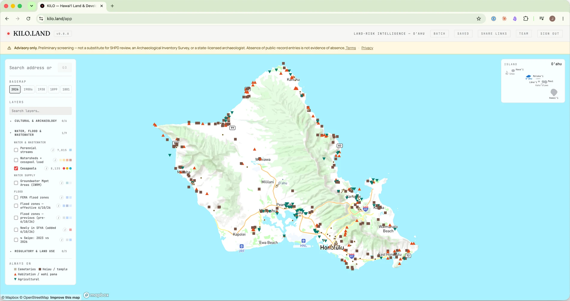
And the read is where the work starts, not where it ends: the pathway it produces becomes a project you can track — filings, review clocks, submittal checklists, agency comments — with exports for the deal file. See everything a read carries →
$50/parcel · Founder price · pay-as-you-go, no subscription — or a plan if you underwrite regularly. Sign-in required; each read runs fresh against the live public record.
Plat 2-2-3-023
One of 135 parcels on this plat (map sheet).
Questions people ask
What is the address of TMK (2) 2-3-023:082?
240 Kulamanu Cir, Kula, HI 96790, per the County of Maui address roll. A tax map key and a street address identify the same parcel two different ways — the TMK is the county's permanent map identifier, while the address is assigned to a structure on the parcel.
Where is TMK (2) 2-3-023:082?
At 240 Kulamanu Cir, Kula, HI 96790, on Maui, in the County of Maui tax-map system — zone 2, section 3, plat 023, parcel 082. County GIS places the parcel near 20.78055, -156.31867, with a mapped area of 16,422 sq ft (0.377 ac).
How do I find the owner of TMK (2) 2-3-023:082?
Ownership, exemptions, assessment history, and the tax bill are public records held by the county. Search 223023082 at the Maui County Real Property Assessment to read the current record.
What can be built on TMK (2) 2-3-023:082?
That depends on the parcel's zoning and state land-use district, flood zone, wastewater rules, shoreline setback, and cultural-resource review pathway — each a public-record question. A KILO read pulls all of them for this parcel, cited, in about a minute.