Plat (3) 1-4-048
Hawaiʻi Island · County of Hawaiʻi · 147 parcels · 31 mapped acres
A plat is one sheet of the county tax map: every parcel below shares the island code (3), zone 1, section 4, and plat 048 — they differ only in their final parcel number. How TMKs work →
Parcels on this plat
:001 0.19 ac:002 0.19 ac:003 0.19 ac:004 0.19 ac:005 0.19 ac:006 0.19 ac:007 0.19 ac:008 0.18 ac:009 0.19 ac:010 0.19 ac:011 0.19 ac:012 0.19 ac:013 0.19 ac:014 0.19 ac:015 0.19 ac:016 0.19 ac:017 0.19 ac:018 0.19 ac:019 0.20 ac:020 0.19 ac:021 0.19 ac:022 0.19 ac:023 0.18 ac:024 0.18 ac:025 0.19 ac:026 0.19 ac:027 0.19 ac:028 0.19 ac:029 0.19 ac:030 0.18 ac:031 0.18 ac:032 0.19 ac:033 0.19 ac:034 0.18 ac:035 0.19 ac:036 0.19 ac:037 0.19 ac:038 0.19 ac:039 0.21 ac:040 0.20 ac:041 0.19 ac:042 0.19 ac:043 0.18 ac:044 0.19 ac:045 0.19 ac:046 0.18 ac:047 0.18 ac:048 0.19 ac:049 0.19 ac:050 0.19 ac:051 0.19 ac:052 0.19 ac:053 0.18 ac:054 0.18 ac:055 0.19 ac:056 0.19 ac:057 0.19 ac:058 0.19 ac:059 0.19 ac:060 0.19 ac:061 0.19 ac:062 0.19 ac:063 0.19 ac:064 0.19 ac:065 0.18 ac:066 0.19 ac:067 0.18 ac:068 0.24 ac:069 0.21 ac:070 0.22 ac:071 0.38 ac:073 0.19 ac:074 0.19 ac:075 0.19 ac:076 0.19 ac:077 0.19 ac:078 0.19 ac:079 0.18 ac:080 0.19 ac:081 0.18 ac:082 0.19 ac:083 0.19 ac:084 0.19 ac:085 0.18 ac:086 0.18 ac:087 0.19 ac:088 0.19 ac:089 0.18 ac:090 0.19 ac:091 0.19 ac:092 0.20 ac:093 0.21 ac:094 0.19 ac:095 0.19 ac:096 0.19 ac:097 0.19 ac:098 0.19 ac:099 0.21 ac:100 0.20 ac:101 0.19 ac:102 0.19 ac:103 0.19 ac:104 0.22 ac:105 0.21 ac:106 0.19 ac:107 0.20 ac:108 0.20 ac:109 0.19 ac:110 0.19 ac:111 0.19 ac:112 0.19 ac:113 0.19 ac:114 0.19 ac:115 0.18 ac:116 0.21 ac:117 0.23 ac:118 0.31 ac:119 0.25 ac:120 0.22 ac:121 0.21 ac:122 0.27 ac:123 0.29 ac:124 0.30 ac:125 0.32 ac:126 0.19 ac:127 0.19 ac:128 0.27 ac:129 0.22 ac:130 0.18 ac:131 0.18 ac:132 0.18 ac:133 0.18 ac:134 0.18 ac:135 0.18 ac:136 0.18 ac:137 0.18 ac:138 0.18 ac:139 0.18 ac:140 0.18 ac:141 0.18 ac:142 0.18 ac:143 0.18 ac:144 0.18 ac:145 0.18 ac:146 0.18 ac:147 0.23 ac:999 2 ac
What a KILO read answers here
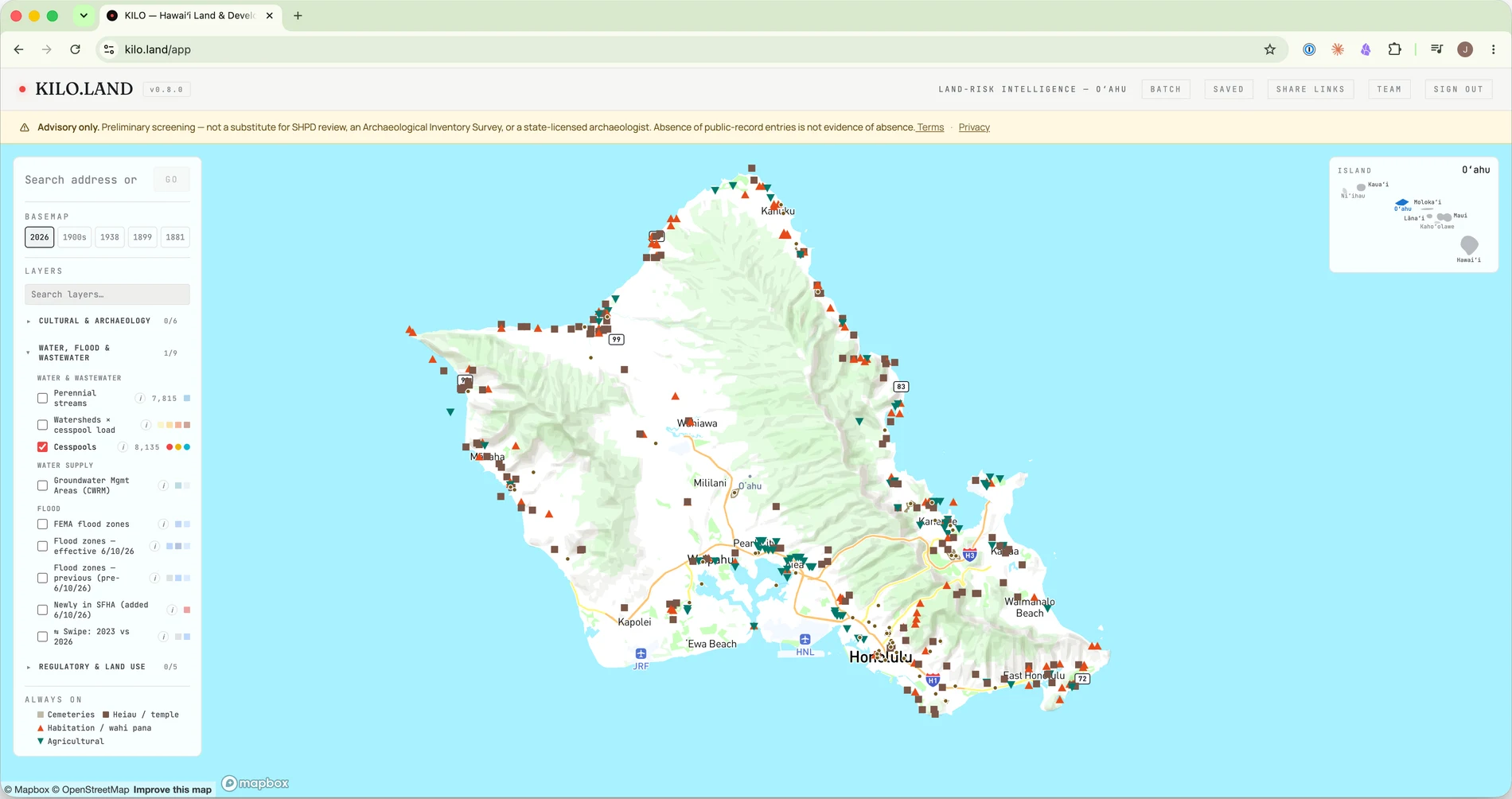
The directory entry on any parcel page is the public record's surface. A KILO read is the layer underneath — the parcel-level answers a project actually turns on:
- Zoning & entitlement — county zoning, state land-use district, and whether the intended use is by-right or discretionary.
- Flood — FEMA flood zone and base-flood elevation posture.
- Wastewater — cesspool / septic / sewer status and the HAR §11-62 and Act 125 rules that apply.
- Shoreline & sea level — shoreline setback and the State SLR-XA exposure ladder.
- Contamination — DOH HEER and EPA facility context near the parcel.
- Cultural resources — the parcel's HRS §6E review pathway and documented cultural-resource context, with the reasoning shown.
$299/parcel · Pay-as-you-go · no subscription — or a plan if you underwrite regularly. Sign-in required; each read runs fresh against the live public record.